

Guide to Hiking Corona Arch and Bowtie Arch Near Moab
Moab’s sculpted arches, sandstone fins, and sweeping canyons are the work of millions of years. Shaped by wind, water, ice, and time, this extraordinary landscape invites you to slow down, look closer, and connect with nature. Just beyond Moab’s national parks, the trail to Corona Arch crosses open slickrock and passes Bowtie Arch on a short yet rewarding desert journey. Whether you have a morning or an afternoon to explore, use this guide to hike Corona Arch, one of the top 10 arches to visit near Moab for a memorable day exploring the quieter side of Moab.
About Corona Arch
Corona Arch rises above the Colorado River Canyon, its crown-like curve spanning 140 feet across and 105 feet high against the desert sky. Its name fittingly comes from corona, the Spanish word for “crown.” The journey to the arch is just as memorable as the view, leading across broad slickrock and featuring fixed cables, sandstone steps, a short ladder, and expansive canyon vistas for an exciting yet approachable adventure. Because Corona Arch is located on Bureau of Land Management (BLM) land, it’s free to visit and does not require national park admission or a timed-entry reservation. The only way to experience the formation up close is by hiking the Corona Arch Trail.
Corona and Bowtie Arch via the Corona Arch Trail
Distance: 3 miles round trip | Difficulty: Moderate
This 3-mile, out-and-back hike gains approximately 440 feet in elevation and typically takes about two hours to complete. The well-marked trail follows a mix of dirt path and open slickrock. A few exposed sections may challenge hikers who are uncomfortable with heights. Cables and a short ladder provide assistance navigating these sections of the trail where there is uneven sandstone or drop-offs. Families should keep children close.
Getting to the Corona Arch Trailhead
The Corona Arch trailhead is along Utah Scenic Byway 279, or Potash Road, one of Moab’s scenic drives. From Moab, travel north on U.S. Highway 191 and turn onto Highway 279 about 4 miles north of town. Continue for about 10 miles beside the Colorado River until you reach the free parking area on the right. Arrive early for cooler temperatures, softer light, and a quieter start. Since the route is out and back, you can turn around at any point and retrace your steps along the marked trail.
What to Expect on the Trail
From the parking area, follow the trail uphill to the visitor register near the railroad tracks. Sign in, then stop, look, and listen before carefully crossing the tracks. Continue along an old road that cuts through a gap in the sandstone rim.
Cairns
Once through the gap, follow the cairns (intentionally placed rock piles) across a sandy wash and slickrock toward the base of a large cliff. The trail is less clear on the sandstone, so watch for the cairns marking the route.
Cables
As the trail follows the base of the cliff, you’ll reach the first fixed safety cable, which provides support along a short, slightly exposed section. Farther ahead, a second cable helps you climb ancient hand and foot holds cut into the slickrock, also called Moki steps. From here, you’ll catch your first view of Corona Arch.
Ladder
At the top of the steps, climb a short metal ladder over a small ledge. Continue following the cairns across a broad slickrock bench, staying mindful of the drop-offs along the way. The most technical part of the hike is now behind you, and the trail continues toward Bowtie Arch and Corona Arch.
Bowtie Arch
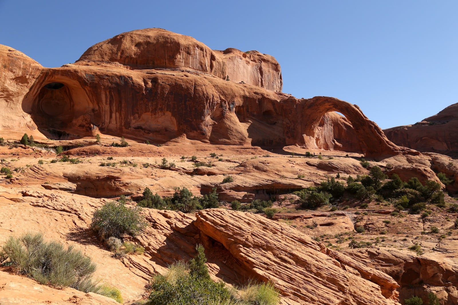
As you cross the slickrock bench, look up to see Bowtie Arch set high in the cliff above the trail. Bowtie is a pothole arch, formed when water pooled and gradually eroded through the sandstone below. The trail passes directly beneath the arch before continuing toward Corona Arch.
Corona Arch
From Bowtie Arch, it’s a short walk to the base of Corona Arch. As you approach, its immense crown-like span comes into view. It’s a memorable finale for a short hike near Moab. Take time to rest beneath the arch, admire the surrounding canyon landscape, and appreciate the scale of the formation before returning along the same route.
Tips for Hiking Corona Arch and Bowtie Arch
- Time your hike thoughtfully: Begin early in the morning or late afternoon to avoid peak heat since the route has little to no shade.
- Be prepared: Carry more than enough water for every hiker, along with electrolytes or a salty snack on hot days. Bring sunscreen, a hat, sunglasses, and lightweight layers.
- Wear sturdy shoes: Sandstone can be slick when sandy or wet. Grippy soles make the cables, steps, and sloped rock easier to navigate.
- Check the forecast: Avoid hiking trails during rain, thunderstorms, high winds, and extreme heat since rocks are slippery when wet.
- Leave no trace: Stay on the trail to protect living biological soil crusts. Pack out everything you bring, leave rock art untouched, and give wildlife space.
Explore More Along Potash Road
While exploring the Potash-Lower Colorado River Scenic Byway (U-279), take time to admire sweeping views of the Colorado River, see ancient petroglyphs along Potash Road, and see dinosaur tracks at the Poison Spider Dinosaur Tracksite. Here, a short 0.3-mile trail leads to two main track sites and ancient rock art if you continue up the hill. Parking and restroom facilities are available at the trailhead.
Where to Stay in Moab
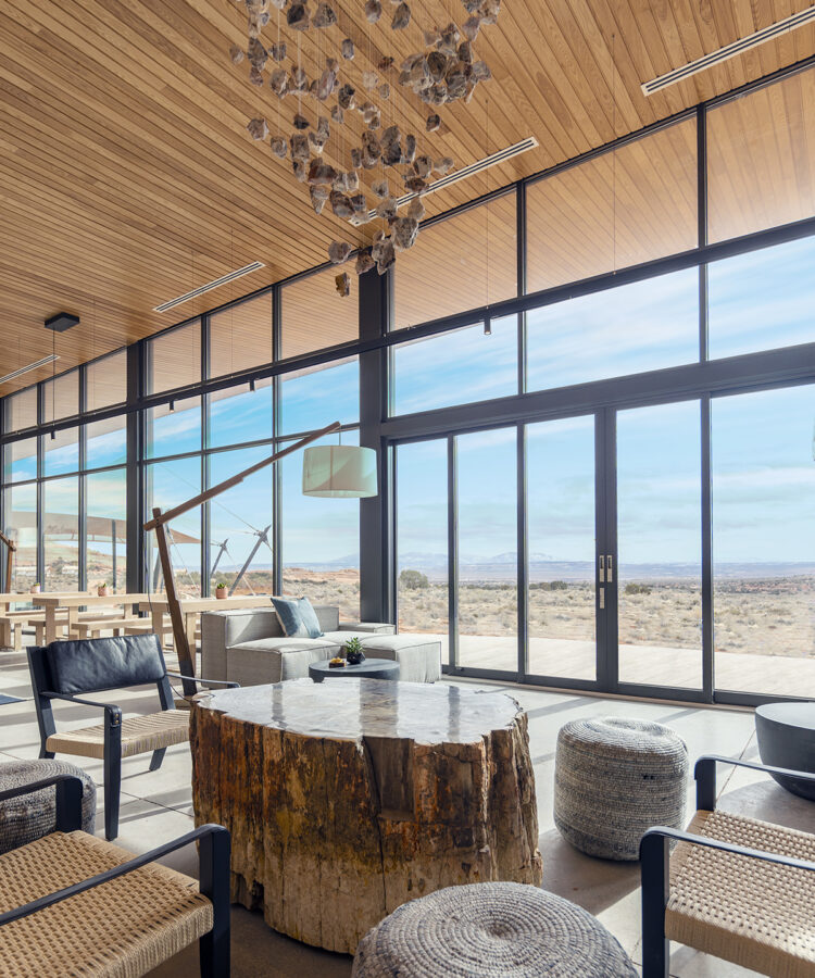
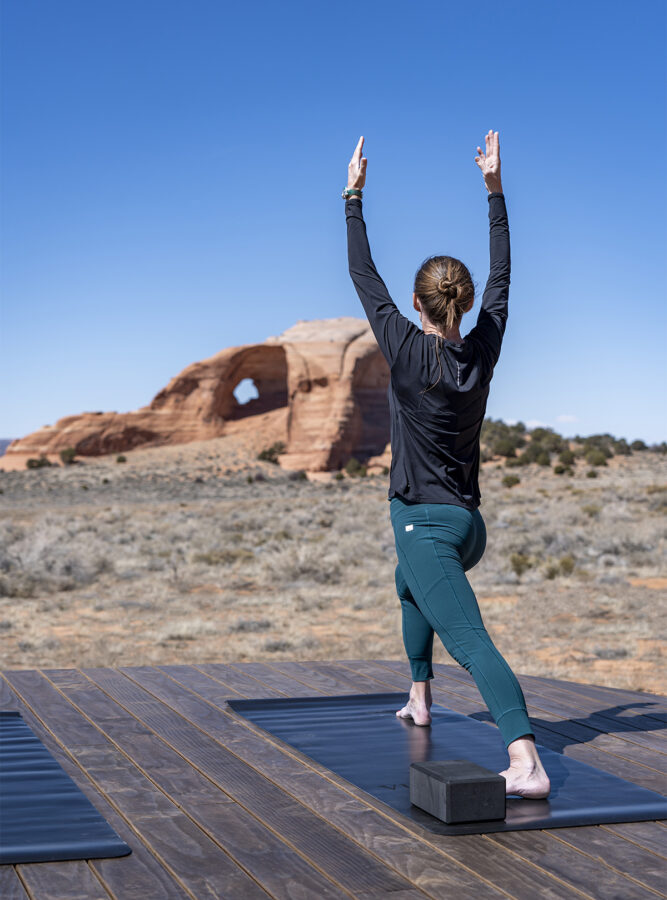
After a day on the trail, return to stillness and comfort at ULUM Moab. Set in a secluded desert landscape near Looking Glass Arch, this MICHELIN Key outdoor resort offers safari-inspired Suite Tents and welcoming spaces designed to deepen your connection with nature and well-being. Wake with the colors of the desert, then spend the day hiking, climbing, or restoring your sense of balance through daily guided yoga, massage treatments, and soaks in the hot and cool dipping pools. Each night, gather over elevated dining inspired by the flavors of the Southwest, followed by gourmet s’mores beneath a starry night sky.