
Guide to the La Sal Mountains Near Moab: Scenic Drive, Hikes, and Mountain Views
The La Sal Mountains offer a cool, alpine contrast to Moab’s red rock desert, where scenic drives, sweeping views, seasonal wildflowers, and brilliant fall colors reveal an unexpected side of the Southwest. Close enough to explore in an afternoon yet distinct enough to feel worlds away, the La Sals provide a peaceful retreat into nature. Follow the scenic loop, picnic beneath whispering pines, and breathe in the fresh mountain air. This guide covers what to see and do in the La Sal Mountains, when to visit, and how to weave the experience into your Moab itinerary.
About the La Sal Mountains
Part of the Manti-La Sal National Forest, the snowcapped La Sals rise southeast of Moab, with peaks exceeding 12,000 feet. Mount Peale, the range’s highest summit, reaches 12,721 feet. Higher elevations can be 10 to 20 degrees cooler than Moab, offering a refreshing escape from the summer heat. The scenic drive is free to access with no park pass or entry fee required.
The best way to experience the La Sals is by following the La Sal Mountain Loop Road as the open desert gives way to pine and aspen forests, wildflower-filled meadows, autumn leaf-peeping, and alpine lakes. Stop for a hike or refreshing swim, then take in sweeping views from the forested peaks to the red rock canyons and mesas below.
Driving the Scenic La Sal Mountain Loop Road
Distance: 60–70 miles round trip from Moab | Driving time: About 3 hours
The La Sal Mountain Loop Road begins about six miles south of Moab on U.S. Highway 191 in Spanish Valley. From there, the road climbs from the desert into forests before descending through Castle Valley and meeting Scenic Byway 128 along the Colorado River.
Although you can drive the route in either direction, starting south of Moab creates a particularly striking journey from open desert to high country.
Allow at least half a day to explore overlooks, lakes, and short trails without rushing. Here are some of the most rewarding stops, views, and detours along the La Sal Mountain Loop Road:
Ken’s Lake
Set beneath the La Sal Mountains, this reservoir makes a scenic first stop. Walk along the water, take a dip, enjoy a picnic, or follow the nearby trail toward Faux Falls.
Oowah Lake
A 3-mile gravel road branches off the loop and leads to this small alpine lake at 8,800 feet. Surrounded by forest, it’s a serene setting for fishing, picnicking, and hiking.
Warner Lake
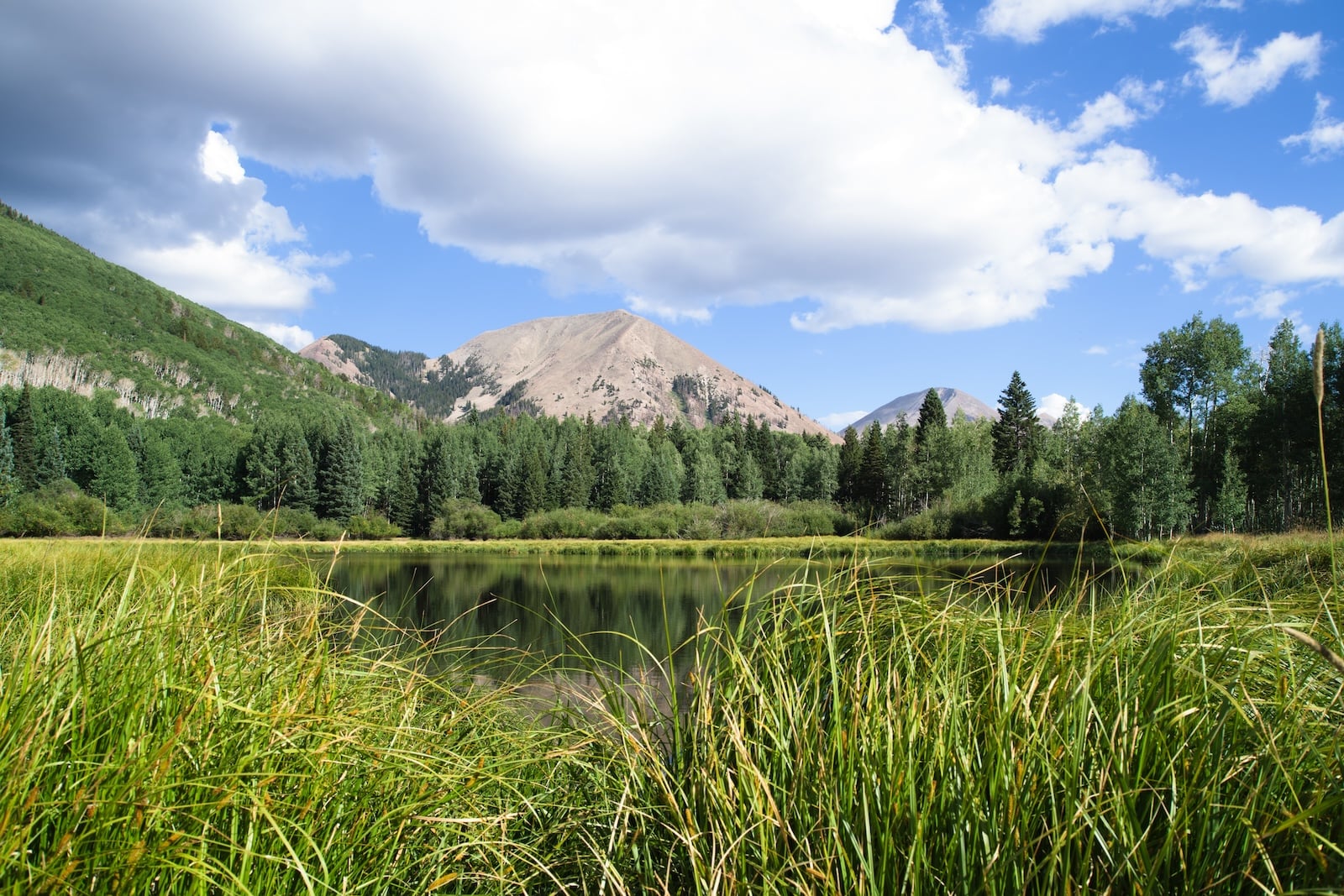
Continue farther into the mountains to find this larger high-elevation lake at 9,200 feet. The surrounding aspen groves and wildflower meadows are especially beautiful in summer and fall.
Castle Valley Overlook
One of the drive’s essential stops, this elevated viewpoint looks across Castle Valley, Porcupine Rim, and the immense red rock landscape surrounding Moab.
Castle Valley
As the road descends, forested slopes give way to views of Castleton Tower, the Rectory, and the Priest and Nuns, unique sandstone formations that rise dramatically from the valley floor.
Scenic Byway 128
Complete the loop by following the Colorado River back toward Moab. For a longer day, detour to Fisher Towers for hiking, climbing, and scenic views of deep-red spires standing against the La Sal Mountains.
When to Visit the La Sal Mountains
Late spring through fall is the best time to visit the La Sal Mountains. As the winter snow melts, late spring brings fresh greenery and wildflowers, though snow and mud may linger on higher roads and trails. Summer offers cooler mountain air, shaded hikes, and peaceful alpine lakes. At the same time, fall transforms the aspen groves into brilliant shades of gold and orange, typically from late September into early October. Winter limits access to some areas but creates opportunities for snowshoeing and cross-country skiing.
La Sal Mountains Hikes
With more than 300 miles of trails, the La Sals have everything from easy walks to strenuous high-altitude climbs.
For a gentle introduction, explore the Warner Lake Trail, an easy 0.6-mile out-and-back route through wildflower meadows, or follow the Oowah Lake Trail through shaded aspen forest. The moderate Clark Lake Loop travels 2.8 miles through forest and open meadows.
For a more challenging hike, take on the Burro Pass Trail, a 7-mile out-and-back journey beginning near Warner Lake. The route climbs through forest and alpine meadows to panoramic views across red rock country.
Read our guide to high-alpine hikes near Moab for La Sal Mountain trail details.
Higher elevations can make physical activity feel more strenuous. Take time to adjust to Moab’s high altitude by starting slowly, drinking plenty of water, and watching for signs of altitude sickness.
Biking in the La Sal Mountains
The La Sal Mountains are home to some of the Moab area’s most memorable cycling terrain. Mountain bikers can explore multi-use forest trails near Oowah and Warner lakes or tackle portions of the legendary Whole Enchilada, an advanced route descending from high alpine terrain toward the Colorado River.
Road cyclists can ride the 60-mile La Sal Mountain Loop, but the sustained climbing, fast descents, limited shoulders, and traffic make it best for highly experienced riders. Start early, use front and rear lights, and carry plenty of food, water, repair supplies, and layers. Always confirm trail conditions and bicycle or e-bike regulations before setting out.
Fishing in the La Sal Mountains
Oowah, Warner, and Medicine lakes offer peaceful settings for trout fishing surrounded by pine and aspen forest. Rainbow trout are commonly found in the region’s high mountain lakes, with fishing at its best from July through September. Anglers age 12 and older need a valid Utah fishing license.
Tips for Visiting the La Sal Mountains
- Check conditions: Review current road, weather, and trail conditions before heading out.
- Fuel up: Fill your tank and bring food and plenty of water, as services are limited along the route.
- Download maps: Cell service can be limited in the mountains.
- Pack for changing weather: Bring layers, rain protection, sunscreen, and sturdy footwear.
- Drive carefully: Watch for cattle, wildlife, cyclists, and narrow curves.
- Allow extra time: Roads leading to lakes and trailheads may be unpaved gravel.
- Leave no trace: Pack out everything you bring and help protect the landscape.
- Acclimate to the elevation: Take it slowly, stay hydrated, and watch for signs of altitude sickness.
The La Sal Mountains add balance to a Moab escape. Spend a few days among sandstone arches and open desert at Arches and Canyonlands National Parks, then journey into cool forests, wildflower meadows, and high alpine for a refreshing change of scenery.
Where to Stay Near the La Sal Mountains
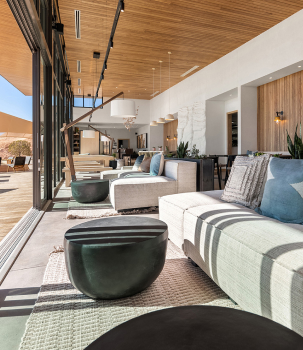
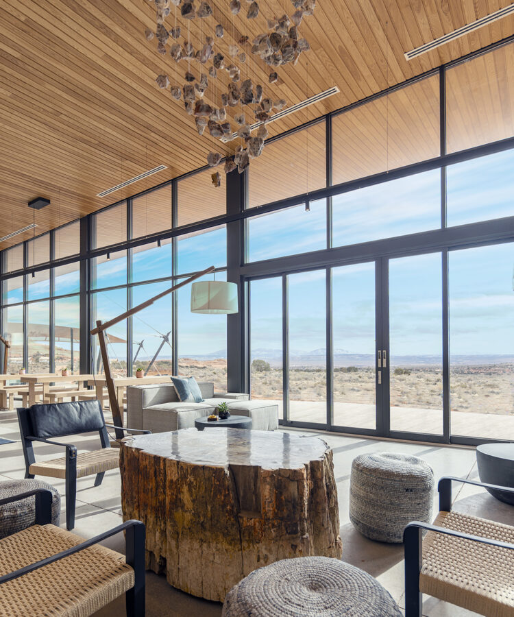
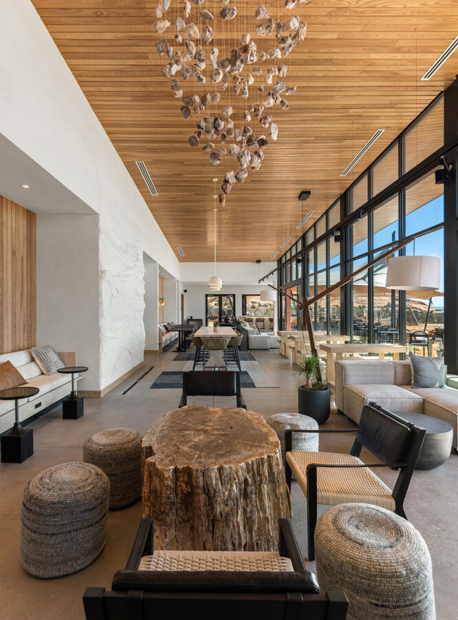
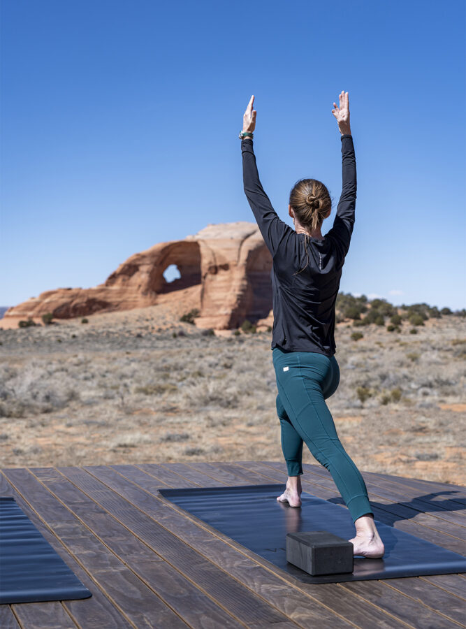
Surrounded by breathtaking landscapes and steps from Looking Glass Arch, ULUM Moab offers upscale accommodations tucked into an expansive, secluded desert setting south of Moab, Utah. Wake to views across Canyonlands National Park, then set out for world-class exploration in the red rock desert or nearby La Sal Mountains. After a day on the scenic loop, return for elevated dining, restorative hot and cold dipping pools, massage treatments, and an evening of stargazing beneath some of the Southwest’s clearest skies.